 01
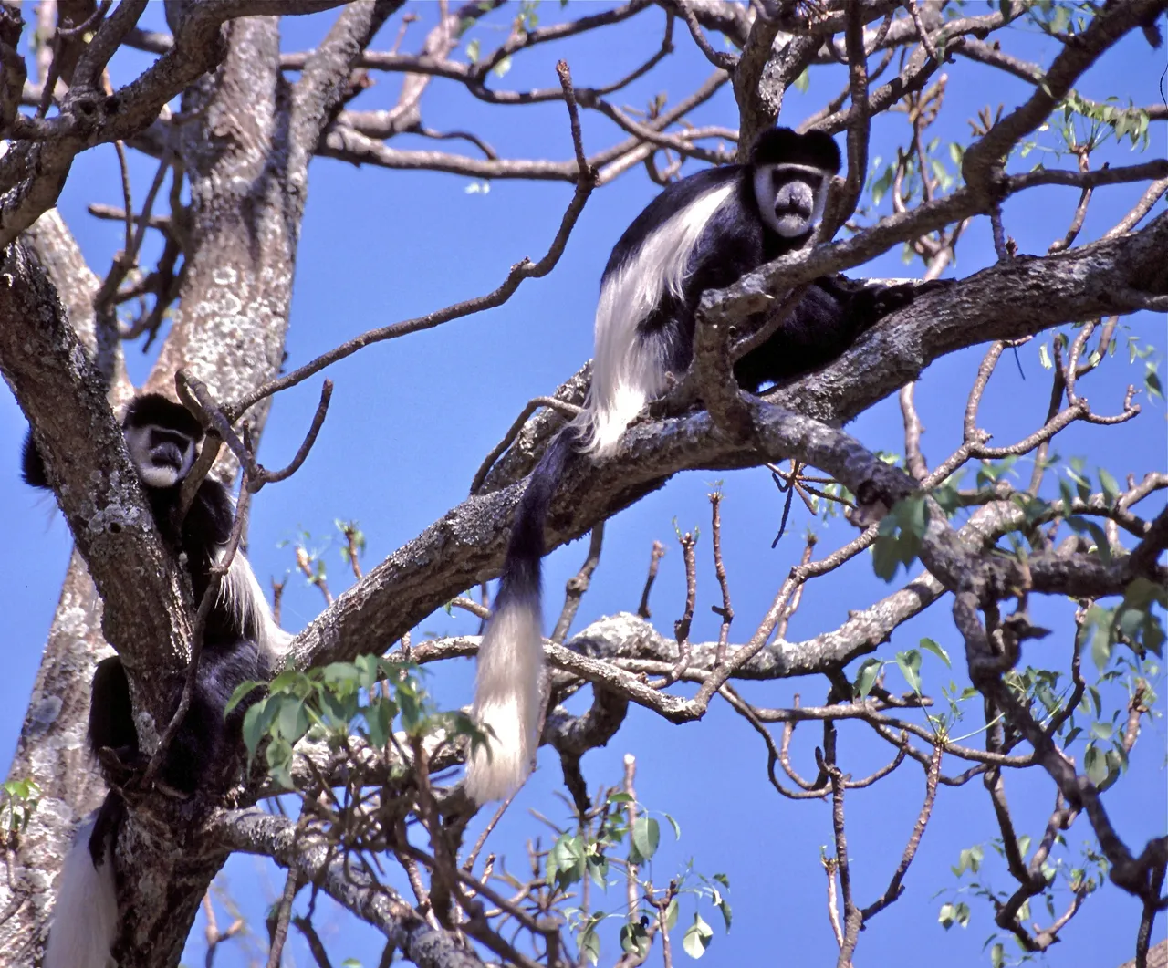
01Black-and-white colobus
Colobus guereza
Common in the lower forest. Listen for the deep croaking call at dawn.

Las descripciones de los viajes y las guías de los parques están de momento en inglés. La navegación y los formularios están en su idioma, y respondemos consultas en inglés, francés, español o chino.
WhatsApp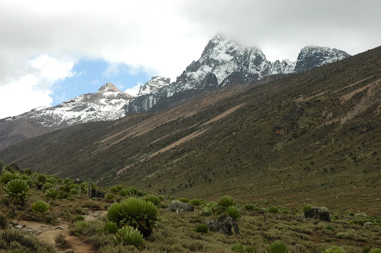
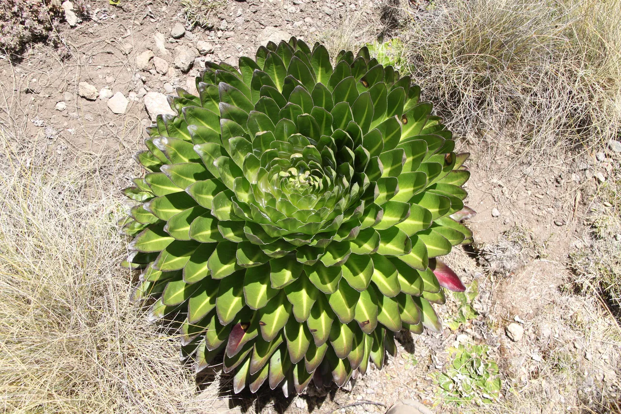
Africa's second highest mountain, rising to 5,199 metres through forest, bamboo and giant lobelia moorland. Mount Kenya National Park is a UNESCO World Heritage Site about three hours north of Nairobi.
Mount Kenya National Park protects the upper slopes of Africa's second highest mountain. The twin summits, Batian at 5,199 metres and Nelion just below it, are technical climbs. Point Lenana, at 4,985 metres, is the summit most trekkers reach.
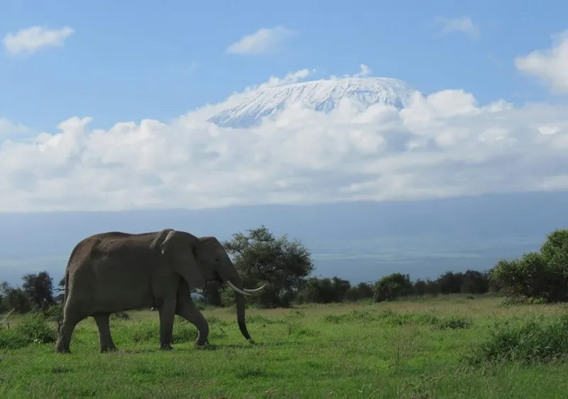
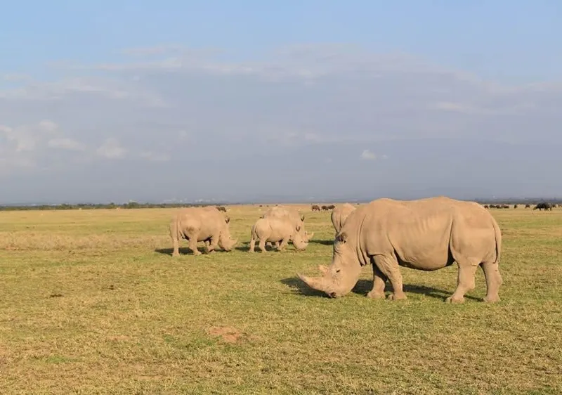
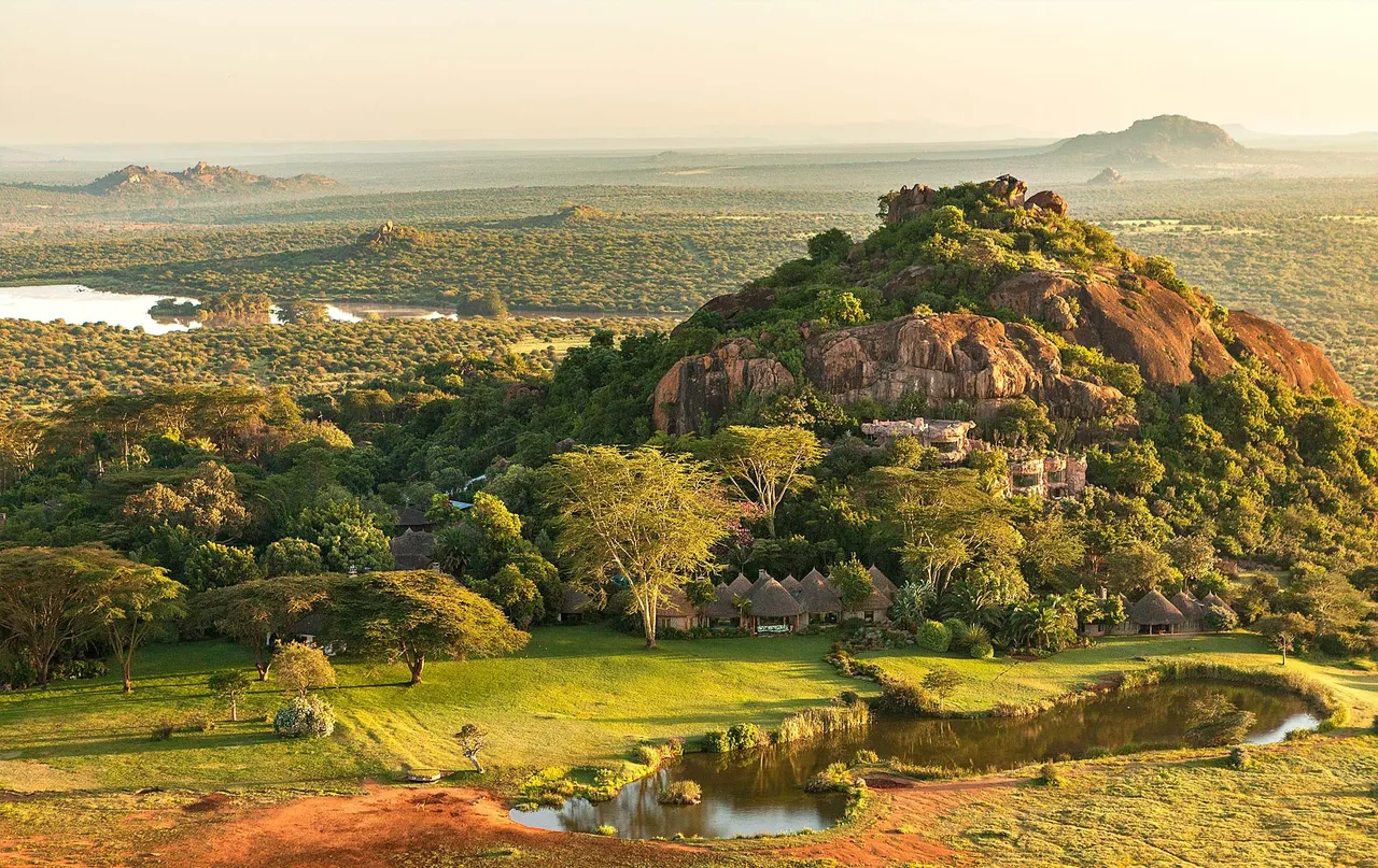
The mountain gave the country its name, and on a clear morning you can see it from the plains of Laikipia and from Ol Pejeta, a snow-streaked outline above the rhino country.
Three kinds of visit, really.
The driest months are January and February, then August and September. These are the best months to trek. The long rains from March to May make the upper routes wet and the forest tracks hard going, and November brings the short rains.
Nights above 4,000 metres are below freezing in every month.
Nanyuki, Naro Moru and Chogoria are the usual starting points. By road they are about three to four hours from Nairobi, much of it on good tarmac. Light aircraft fly to Nanyuki in about 45 minutes.
Mount Kenya sits between the central highlands and the northern parks, so it fits naturally into a longer trip. Our five-day safari with Ol Pejeta, Lake Naivasha and the Masai Mara spends its Ol Pejeta days beneath the mountain, and Samburu is a few hours further north. The Aberdare range lies just to the west.
We do not yet run a fixed Mount Kenya trek. Tell us what you have in mind and we will plan it with a mountain guide.
Declarado en 1949. Para qué se creó, y qué lo amenaza ahora.
Mount Kenya National Park was gazetted in 1949, and the mountain and its surrounding forest became a UNESCO World Heritage Site in 1997. The listing was extended in 2013 to include the Lewa and Ngare Ndare corridor to the north, which lets elephants move between the mountain and the lowlands.
Like the Aberdares, Mount Kenya is one of the country's main water towers. The rivers that rise on its slopes feed the Tana and the Ewaso Ng'iro, and with them a large share of Kenya's farms and hydropower. The park is managed by the Kenya Wildlife Service.
Las especies por las que este sitio es realmente conocido, no una lista de los cinco grandes que valdría para cualquier parque de Kenia.
01Colobus guereza
Common in the lower forest. Listen for the deep croaking call at dawn.
 02
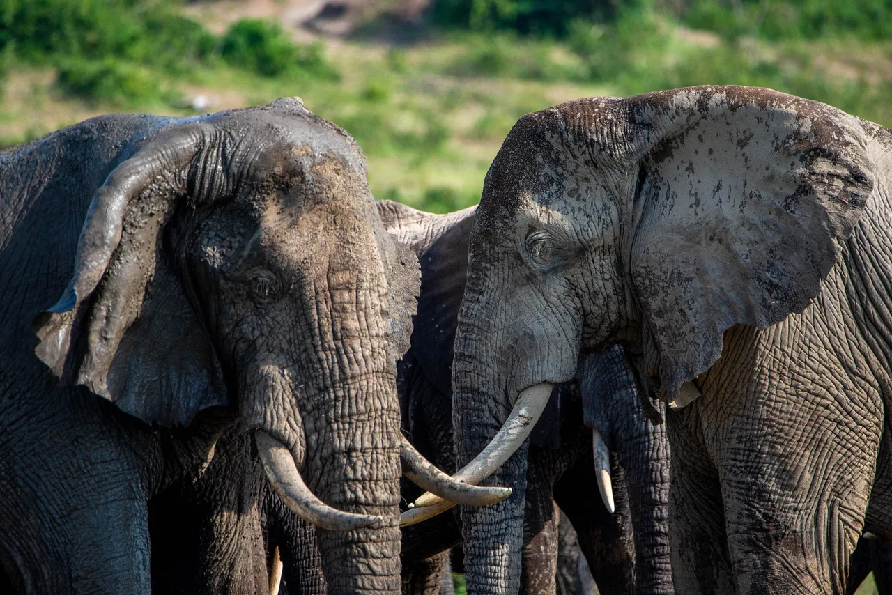
02Loxodonta africana
Forest elephants move up and down the mountain, and use the corridor to Lewa.
 03
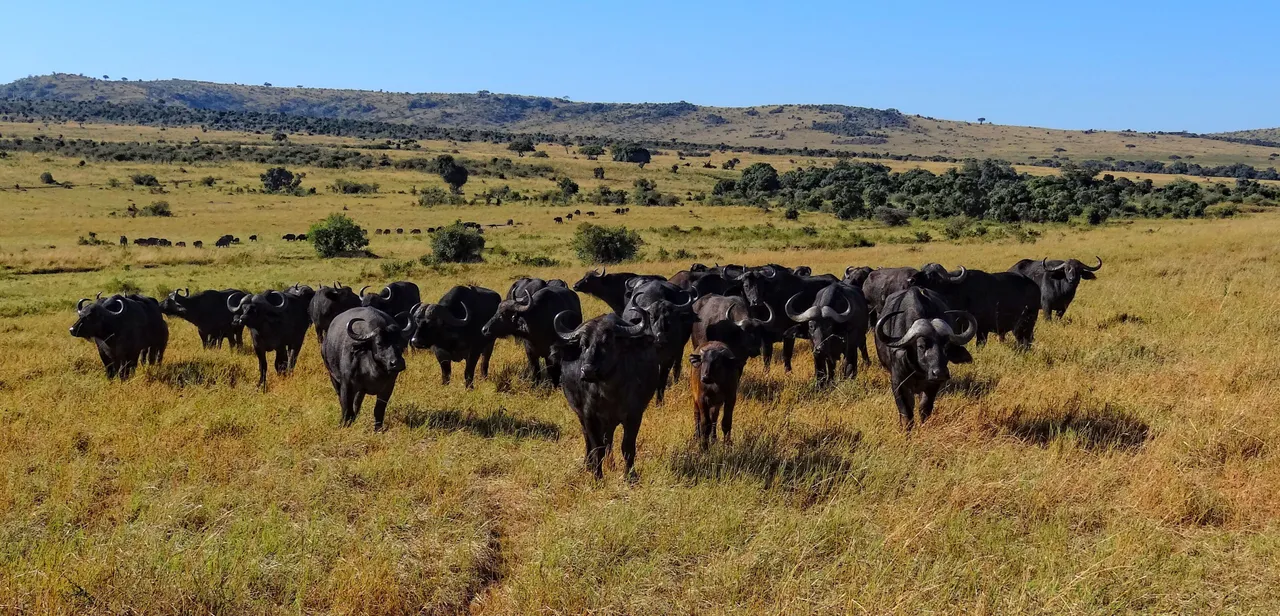
03Syncerus caffer
Found in forest glades and on the lower moorland. Treat them with respect on foot.
 04
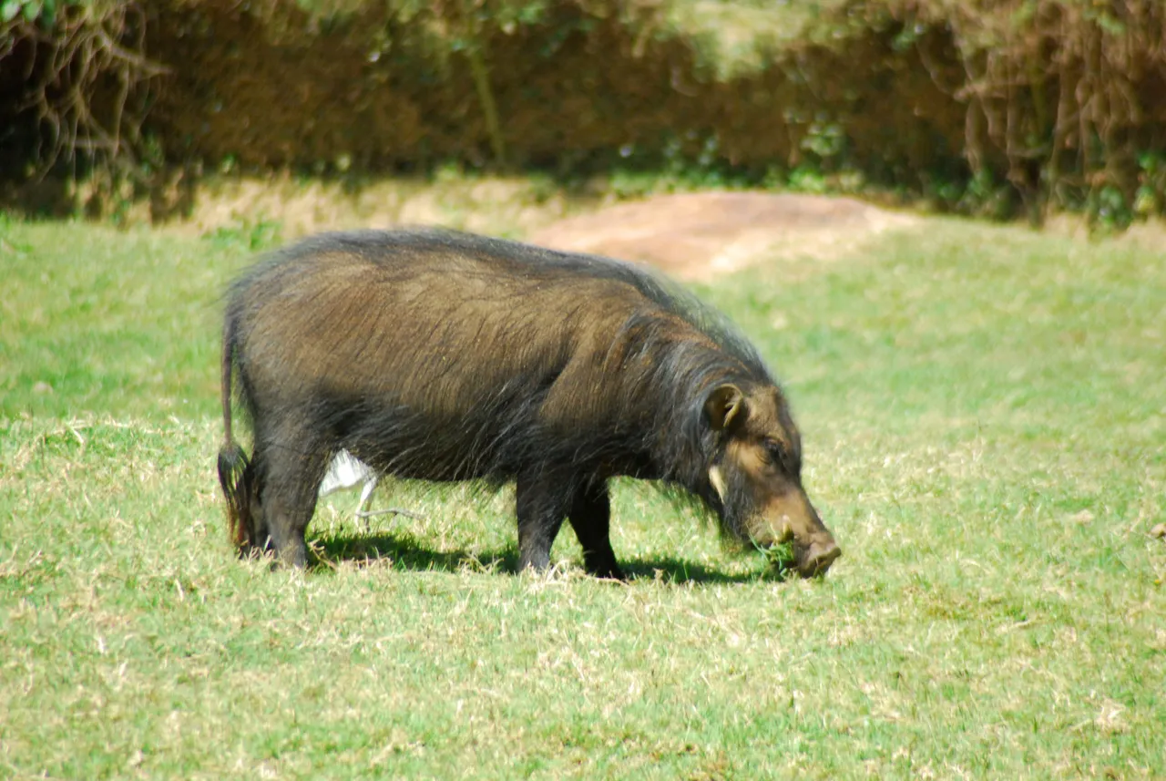
04Hylochoerus meinertzhageni
The largest wild pig, seen at forest edges early and late in the day.
Los parques de Kenia son pequeños. Casi todo lo que decide si la fauna sobrevive ocurre en la tierra que los rodea, y esa tierra es de alguien.
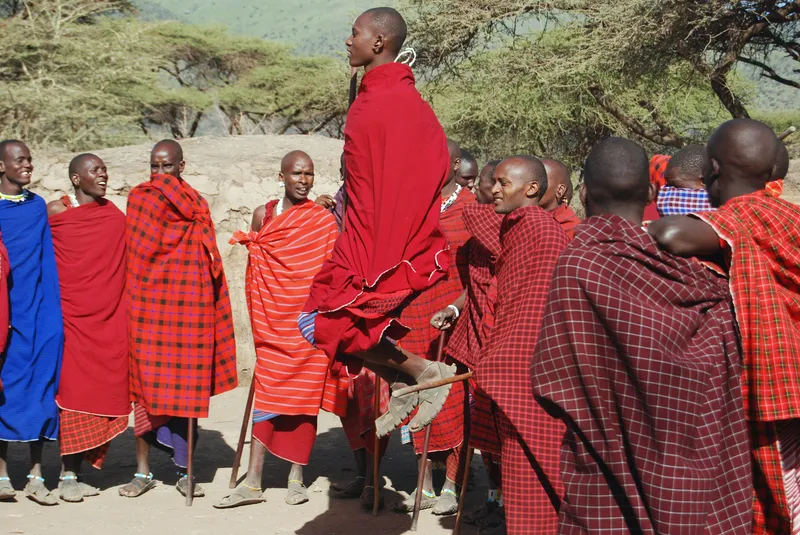
For the Kikuyu, Embu and Meru peoples who live around it, the mountain is Kirinyaga, and it has long been held sacred. Homesteads were traditionally built with their doors facing the peaks.
The farming towns on its lower slopes, Nyeri, Nanyuki, Meru and Embu among them, grow much of Kenya's tea and coffee.
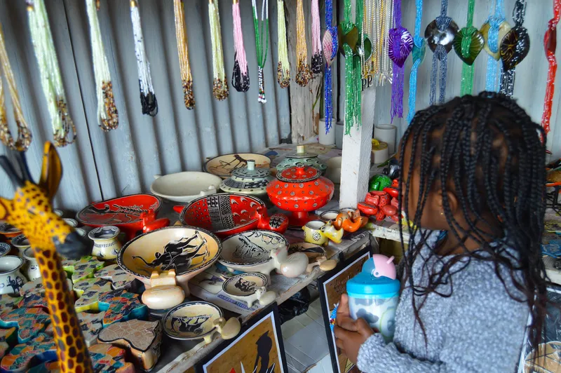
The towns around the mountain are good places to buy coffee and tea straight from the estates, and woven sisal baskets from the local markets. Nanyuki has craft shops run by community groups from the surrounding ranches.
Cada pie describe la fotografía que tiene encima.
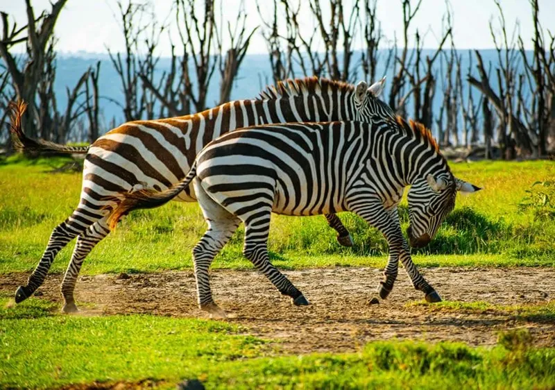
Lake Naivasha Excursión de un día
Masai Mara Safari largo
Todos los safaris de esta web existen como itinerario imprimible, día a día, con lo que incluye y el precio. Envíeselo a quien le acompañe. Le añadiremos a una nota mensual breve sobre cuándo viajar y cuánto cuesta, y nada más.